What it is
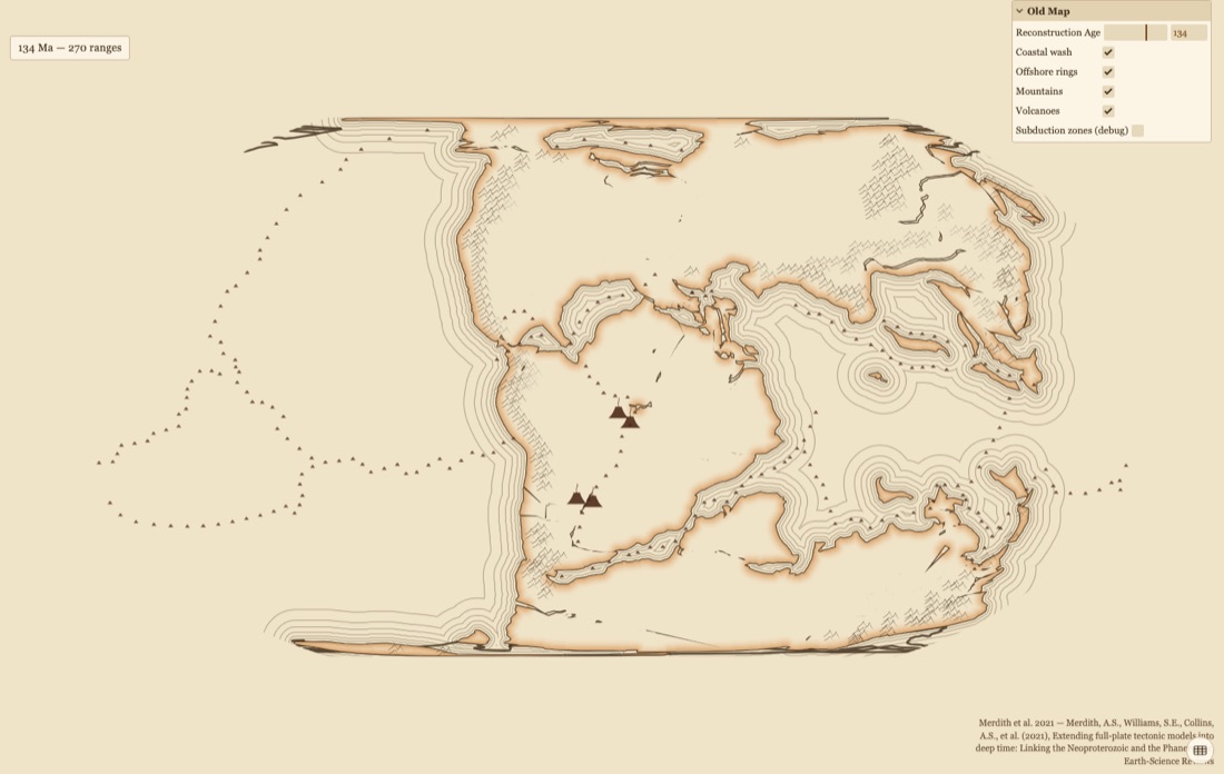
The same reconstruction data in eighteenth-century dress: pen coasts, a graded wash inland, nested offshore rings, hachured mountains, volcano symbols. The ink is measured in kilometres, so zooming widens a band exactly as it widens a continent.
It is the viewer that makes cartographic convention visible. Every other map here uses a colour ramp students read without noticing.
Contents
- CoastsPen lines with a 0–400 km wash inland.
- RingsContours at 100, 200, 350, 550, 800, 1200 km offshore.
- MountainsHachures where the reconstruction puts an orogen.
- VolcanoesRidges, deep plumes, and LIPs at eruption age.
- ProjectionsGlobe, Robinson, Plate Carrée.
Controls
- Drag to rotate or pan, scroll to zoom.
- One time slider.
Lesson sketches
Read a map you were not taught to read
- Show the map at 100 Ma with no legend. List every distinct mark on the board.
- Take a guess at what each one means.
- Reveal the legend. The rings are usually guessed wrong.
- Return to a colour-ramp map of the same age and ask what its conventions are.
Whose job is it to tell you what a colour on a map means?
Cartography of the unknown
- Show a real historical chart beside the viewer.
- Scrub the slider and let the coastlines move.
- Ask where the uncertainty lives in a map this confident.
Does a map that looks old make you trust it more, or less?