What it is
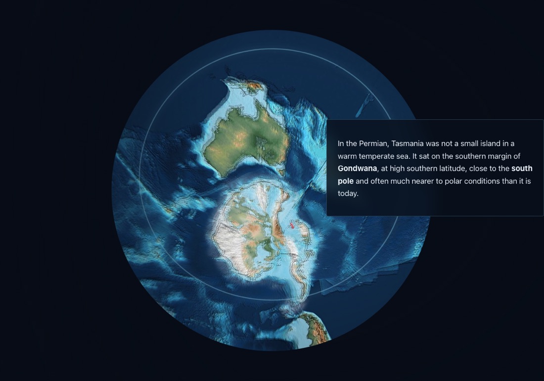
A scrolling story from Tasmania's near-polar position in Permian Gondwana to the Jurassic dolerite that forms the cliffs at Eaglehawk Neck. The only one here with a field area attached: the rocks in the closing scenes are ones a class can stand on.
Contents
- GondwanaA high-latitude Permian setting, close to the pole.
- Permian–TriassicThe sedimentary record and its fossils.
- DoleriteJurassic magmatic plumbing.
- Dykes and sillsFractures, transgressive flow, bedding-plane propagation.
- Field areaPort Arthur and Eaglehawk Neck.
Controls
- Scroll to advance the story.
Lesson sketches
Field trip briefing
- Work through the story, building a stratigraphic column as you go.
- Per unit, write one field observation that would confirm it.
- Mark the dolerite contacts on a peninsula map before going.
Which of these claims could you test at the outcrop, and which need a lab?
Cold Tasmania
- Note Tasmania's Permian latitude from the reconstruction.
- List the sedimentary features that would indicate a cold, high-latitude setting.
- Compare with the modern latitude and climate.
How far has Tasmania moved, and which way?
Why the cliffs are vertical
- Show the reconstruction at the time of intrusion.
- Explain cooling contraction and the crack pattern it makes.
- Point out the same rock in the Hobart skyline.
Why hexagons, and not squares?