What it is
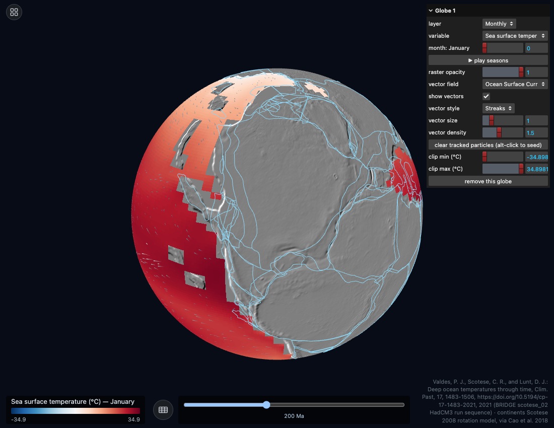
The Valdes et al. 2021 BRIDGE simulation, kept separate because its ocean grid does not share a depth range with the other climate fields. Atmosphere is monthly; the ocean is annual across 20 depth levels.
Contents
- AtmosphereSurface air temperature and related fields, monthly.
- OceanPotential temperature and velocity at 20 depths.
- CurrentsGlyphs or streaks, at any depth.
- SurfaceThe same reconstructed coastlines and boundaries.
Controls
- Drag to rotate, scroll to zoom.
- Depth selector for ocean fields, month slider for atmospheric ones.
Lesson sketches
Down through the thermocline
- Fix a low-latitude point. Record temperature at every depth level.
- Plot temperature against depth and mark the thermocline.
- Repeat at high latitude. Explain the different shape.
Where is there no thermocline at all, and what does that allow?
Surface currents are not the circulation
- Draw the surface current pattern as gyres on a blank map.
- Switch to the deepest level and draw it again.
- Mark where the two run in opposite directions.
A bottle and a submarine released at the same spot: where does each end up?