Most of the seafloor has never been surveyed in any real detail. Satellite altimetry gives a coarse, continent-scale picture, but resolving individual seamounts, plateaus and the boundaries between continental and oceanic crust means going to sea. I sail on national research vessels to collect gravity, magnetic and bathymetric data, and to dredge and core rock samples from features that are otherwise only visible as vague bumps in a satellite-derived map.
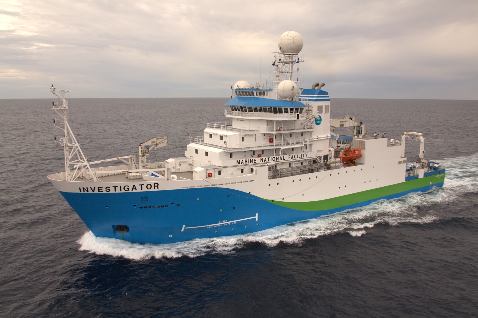
RV Investigator, CSIRO's Marine National Facility research vessel, used for geophysical survey voyages around Australia. Image: CSIRO / Science Image, CC BY 3.0.
Voyages
Some of the sea time behind this work, as chief or alternate chief scientist:
-
RV Southern Surveyor, SS2011/V06 Chief Scientist
The Perth Abyssal Plain: understanding eastern Gondwana break-up.
-
RV Southern Surveyor, SS2012/V06 Alternate Chief Scientist
Tectonic framework for the easternmost Coral Sea and the northern extent of the Lord Howe hotspot.
-
RV Investigator, IN2016/T01 Chief Scientist
Continuity of Australian terranes into Zealandia: towards a geological map of the east Gondwana margin (ECOSAT II).
-
RV Investigator, IN2019/V04 Alternate Chief Scientist
Hotspot dynamics in the Coral Sea: connections between the Australian plate and deep Earth (ECOSAT III).
Upcoming — Australia's northwest margin
A current focus is Australia's northwest margin, the first part of the continent to break away from Gondwana. The deep seafloor between Australia and Indonesia (the Argo, Gascoyne and Cuvier abyssal plains) records a complex, multiphase history of continental rifting through the Jurassic and Early Cretaceous, but remains poorly sampled. An upcoming Marine National Facility voyage will target submarine plateaus in this region to test competing explanations for how they formed (see current projects).